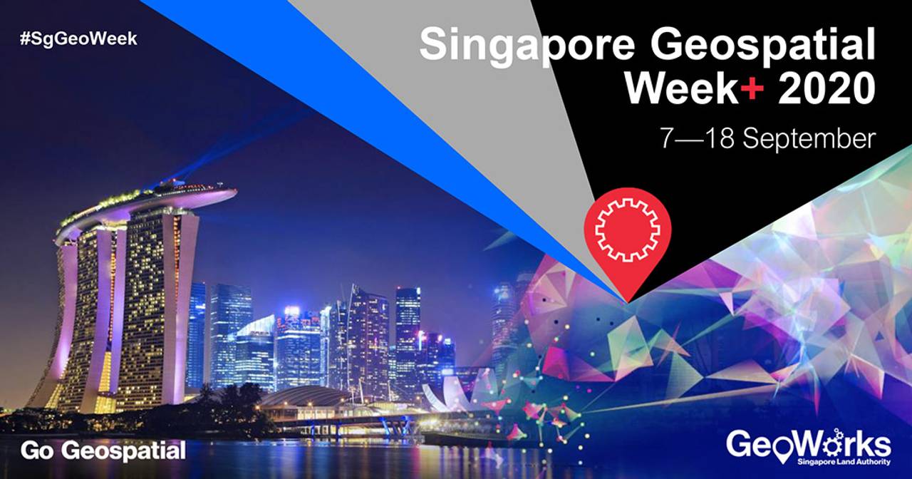
Singapore Geospatial Week+ 2020, taking place from 7 to 18 September 2020, was officially launched on 9 September. The event is presented by GeoWorks, Singapore’s geospatial industry centre, and managed and operated by the Singapore Land Authority (SLA).
Featuring four industries of focus – Built & Infrastructure, Mobility & Logistics, Real Estate & Retail, and Urban & Environment, this knowledge sharing platform brings together more than 80 industry specialists and partners as they share their vision on the future of geospatial technology, to spur innovation across a multitude of uses from drone solutions and Artificial Intelligence (AI), to 3D scanning and the creation of digital twins.
For the second year running, SLA also organised the Regional Geospatial Youth Forum (on 8 September 2020) to generate and build geospatial interest, awareness and a vibrant community among young professionals and students from Singapore and various ASEAN countries and regions.
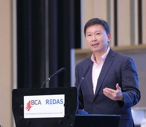
“Everything happens somewhere. Even when one logs into a virtual meeting, one is doing so from somewhere. We see geospatial technology as a key capability of a smart nation,” said deputy secretary for smart nation and digital government, Tan Kok Yam. “Geospatial technology has provided, and will continue to provide, innovations and solutions to cities and countries, that help us contain the ongoing public health crisis, and help us manage the economic and social fallout. This is why Singapore Geospatial Week+ 2020 is an important event, for the geospatial community to share knowledge and exchange experiences, at this time when we urgently need to join hands and minds to solve big common problems.”
SLA acting chief executive Simon Ong added, “Geospatial information has become an integral component in driving solutions for businesses, the community and individuals. The current Covid-19 pandemic has led to location-based data being leveraged on for crowd management applications in line with safe distancing measures, thus enabling the public to make informed decisions to protect themselves.”
Event highlights
A spotlight feature for Singapore Geospatial Week+ 2020 is the Covid-19 webinar series, showcasing the use of geospatial solutions to better manage public safety efforts in a pandemic. Led by industry speakers including GeoWorks’ GeoTechs - CITYDATA, TNO, and GeoPartner Grab amongst others, the webinar series highlight the use of how geospatial technologies are leveraged in an urban environment and integrated into a new normal for the community.
In addition, the ‘GeoInnovation from Around the World’ is introduced as a dialogue segment to promote geospatial sharing across borders for industry professionals. Hosted by GeoWorks’ GeoCommunity partners from around the globe, this knowledge sharing initiative will be led by start-ups and agencies from around the world including Australia, Finland, Japan, the UK and the US to build geospatial interest and expertise sharing.
Geospatial data and analytics in public sector
Geospatial data and analytics have also served as a platform for government agencies and city planners. The public sector sharing segment will draw focus on the use of geospatial technologies to achieve better governance and how it has been adopted by public agencies for land and sea planning, development of liveable cities, and even for urban trees and greenery management.
SLA has collaborated with the National Parks Board on the use of location-based information to drive efficiency in the management of green spaces. Leveraging on the OneMap base map as a visualisation tool, maintenance information is streamlined on a single platform to identify gaps and minimise overlaps in service delivery. Featuring updated counts and location information of trees to be maintained, this platform is also used for service and operation planning.
For a full line-up of the activities organised during Singapore Geospatial Week+ 2020, please visit the event website.

